One of the latest trends in mapping technology involves mobile mapping. http://holtz.org/Library/Mobile/Maps/ One common example of a mobile mapping technology is used by Google Earth, a popular user friendly mapping technology that combines traditional mapping methods with modern contemporary computer technology. Mobile mapping technology such as Google Earth can be installed in a cellphone, PDA, Laptop, and Ipod and offers users instant access to all types of maps such as road atlases. Each of these devices have the potential to utilize GIS information and process it as an image such as a map of your favorite park or freeway. Using this technology can help you avoid traffic jams and other hazardous situations. You can track dangerous criminals like those marijuana smokers, and you can keep an eye on local weather conditions to better prepare yourself.

mobile image of hurricane surge 1999.
Traditionally, GIS programming relied on a static environment, mobile devices such as cell phones require a different type of GIS language to transfer information to a roving device. The following web site http://www.gisdevelopment.net/technology/mobilemapping/index.htm offers some great articles written by the developers of the mobile programming language, definitely worth a look.
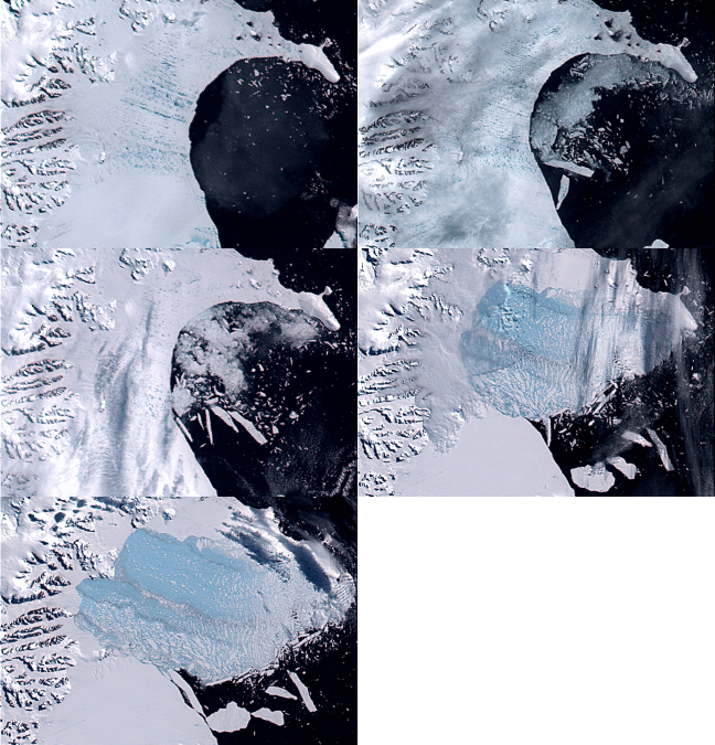
Mapping technology is only beginning to see its full potential. Scientists are using modern mapping techniques to track global warming trends, earthquakes, and virtually any other environmental system you can imagine. So take a moment and read up because soon all human kind will be taken over by hordes of map geeks.


No comments:
Post a Comment